1. Home
  2. Solutions
  3. Automatic Guided Vehicle
  4. AGV Software
  5. AGV Mapping software
AGV Software

MAPPING SOFTWARE

WEWO Techmotion delivers your complete AGV system.

  1. From the development of the vehicle to the navigation software
  2. From energy management to control software
Download brochure Contact

Do you opt for an automated guided vehicle with natural navigation from WEWO Techmotion? Then it is delivered including mapping software.

Mapping software for your AGV

Every automated guided vehicle of WEWO Techmotion that is equipped with natural navigation comes with mapping software. This software:

  • maps out the application area;
  • makes a selection of reliable contours to ensure stable navigation;
  • creates the routes and functionalities;
  • translates all information into Fleet Management software.

Mapping software is, therefore, an ideal choice if you like to maintain an overview.

One contact for the total concept, from a to z.
One central contact
Concept designing
Technical realisation
Services & maintenance

The operating principle of mapping software

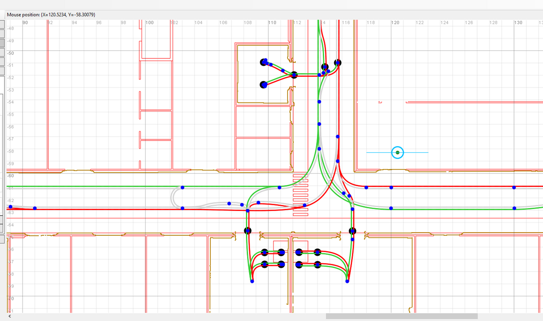
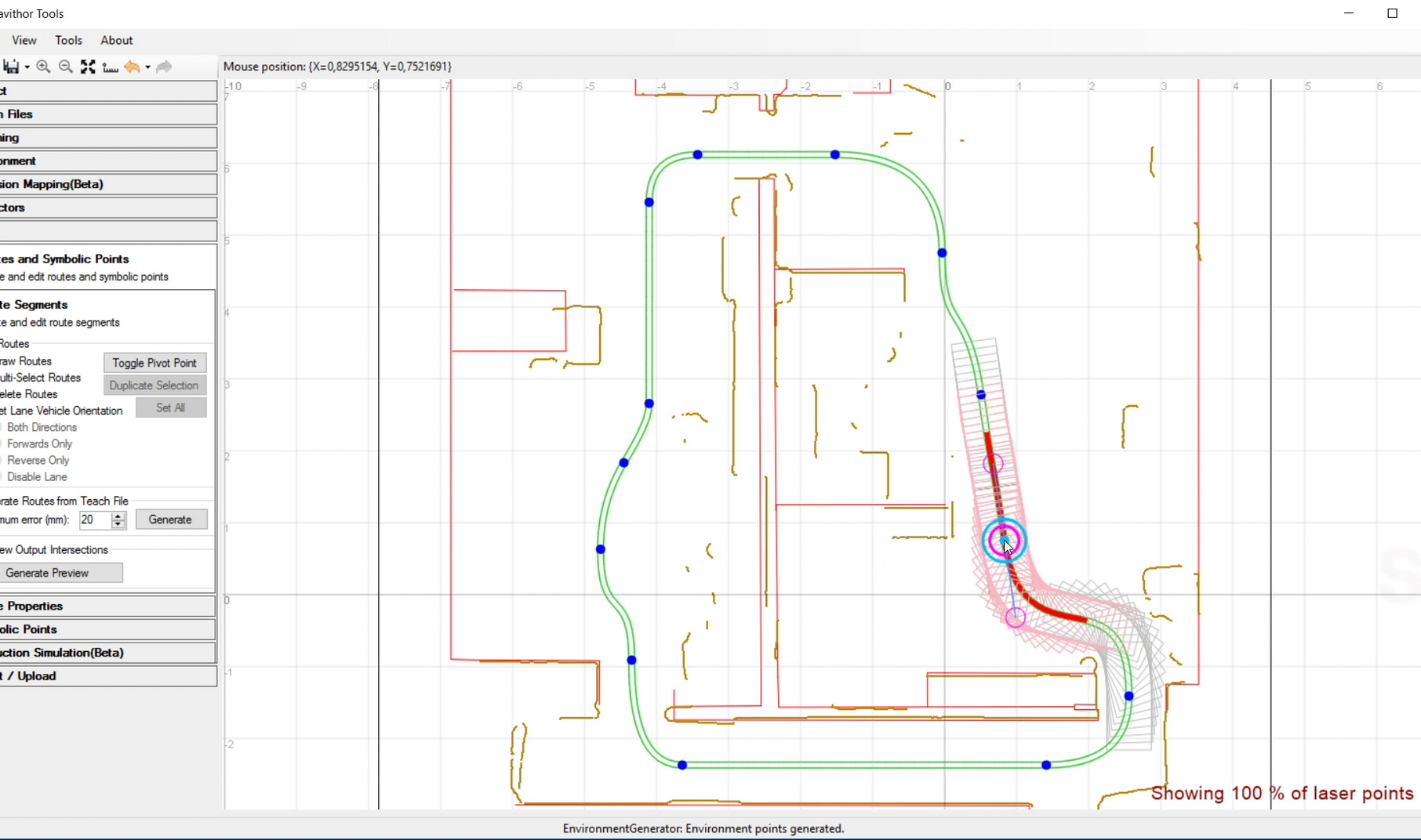
The operation of our mapping software is, in fact, quite straightforward. First, your automated guided vehicle reads the environment. The AGV’s movements are remote-controlled so that the mapping software can register the environment, as well as possible reflector positions. The environmental data that has been read is then copied to the environmental map.

Advanced mapping software

It’s clear that WEWO Techmotion offers advanced mapping software. This is an ideal addition to your automated guided vehicles. Perhaps we can use AGVs, including this software, for your organisation as well! Challenge us, make your wishes known and schedule a no-obligation consultation!

Ask your question directly online!